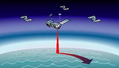
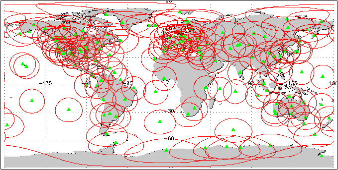
A capability of monitoring the global distribution of ionospheric total electron content (TEC) has been developed at JPL using dual-frequency observations from a worldwide network of Global Positioning System (GPS). Using the GPS data Combined with the Kalman filter technique and an ionospheric model, global ionosphere maps (GIM) of vertical TEC can be produced with an hourly or sub-hourly resolution.
Validation of GIM and Calibration for Single-Frequency Altimetry Missions
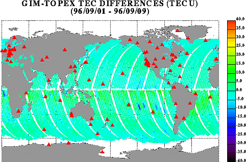
The accuracy of the GIM solutions can be assessed by direct comparisons with independent vertical TEC measurements, such as those retrieved from the dual-frequency altimetry data taken by the TOPEX satellite. On the other hand, single-frequency satellite altimetry missions will benefit from using GIM solutions to provide global ionospheric corrections.


